Friday, April 30, 2010

Making amends

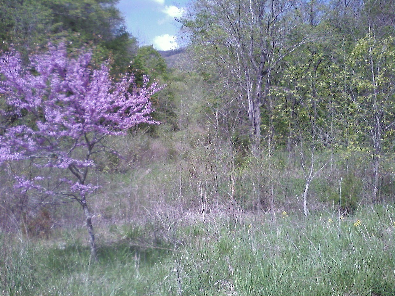
For those that don't know,
the phrase started as an anti-litter campaign;
note the background for how well it is working.

Even if it bothered no one else, I'm dissatisfied with my last two post. They were distinctly of the been-here, seen-that nature, which, quite frankly, I personally would find rather boring to read. No doubt, this blog is intended partly as a way to maintain contact while on the road, but I'd also like it to aspire to more than just a schedule of events. To that end, my goal is to provide the unique aspects of travel I enjoy and how I respond to what I'm seeing and being on the road.

So yes, to begin, that means more bridge photos;
This one crosses the Canadian River in Oklahoma;
It is very rusty, very grassy, and through breaks in the pavement, one can see wood decking.


I stopped just down from the bridge along the river for a five hour nap in my 24 hour push to cross Oklahoma and Texas, hoping to be in Taos, NM for the weekend and a bike shop group ride. In addition to the cool old bridge, Oklahoma surprised me; it is beautiful country, particularly the mountainous northeastern section, but even the rolling hills and grasslands of the west struck me as a special place. To some extent, I think this is my own reaction to feeling like I've finally made it into unfamiliar terrain and landscapes. Kentucky and Arkansas were giving hints of the transition with gigantic beetles and armadillo roadkill, but OK was real, "I don't think we're in Connecticut anymore, Toto."

Not only are the beetles big,
but Kentucky has poison ivy, ticks, and guns everywhere.

So a thing about guns and Kentucky: it is the only place I've ever been asked, twice no less, if I carry a firearm for safety, and one of those people was a park ranger. OK, maybe I was just lucky to pass through the state without being raped by a pack of wild turkeys, but really, I think people there might be a wee bit paranoid. My logic, and I shared it with one of my questioners, is that with everyone in the state packing heat, they will automatically assume I am too, so no need to actually carry the damn thing. Anyhow, again, I made it through unscathed (although I was questioned by a cop in Tennessee for seeming suspicious as I walking around town looking at old buildings--even when I offered my i.d. so he could check my clean record, he never quite became friendly), but I maybe I'm just amazingly lucky.

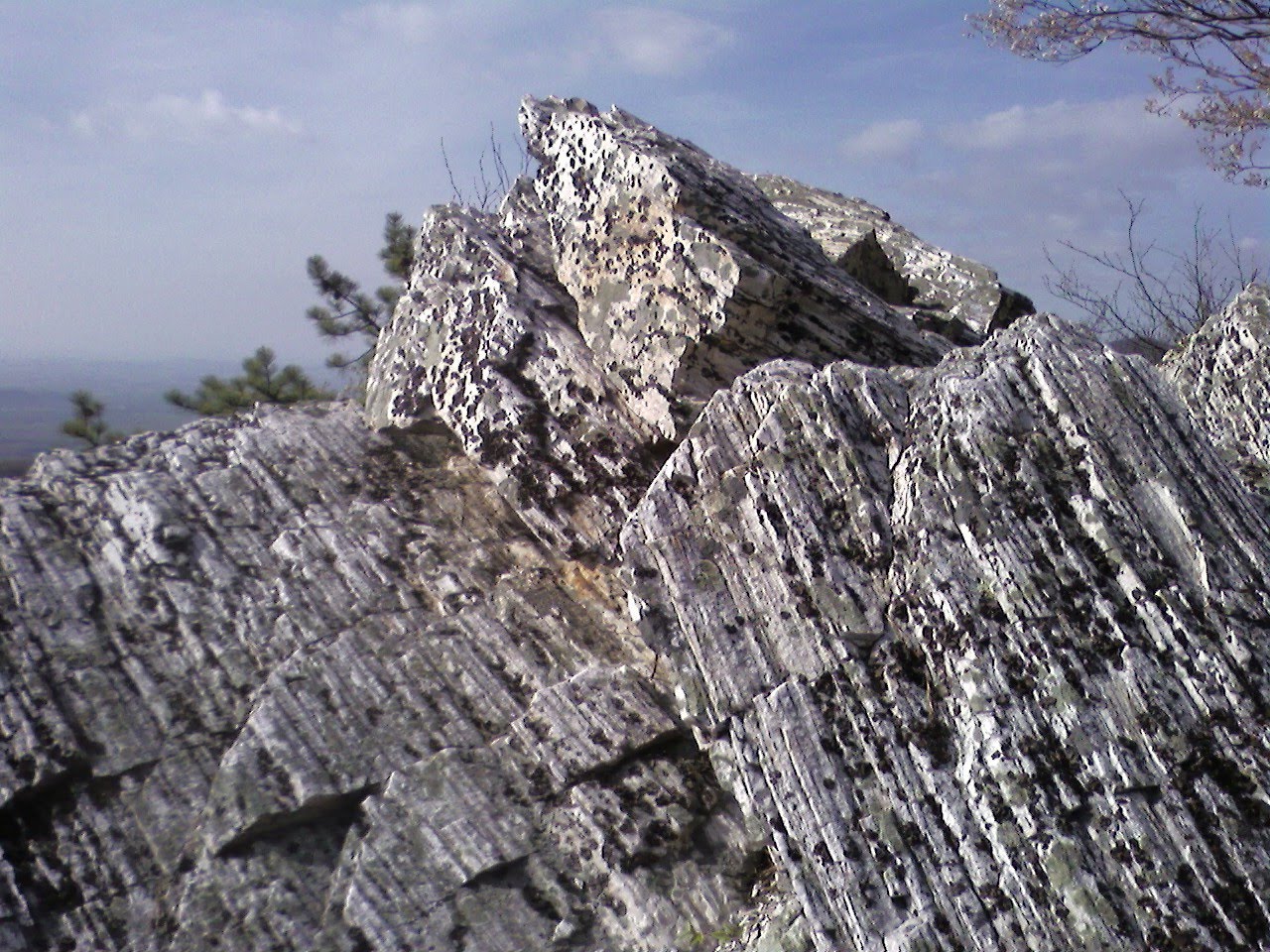
Speaking of luck, how is this for a good shelter in an electrical storm:
An uninstalled, dry, grounded, metal culvert pipe!

To close, I must give some props to Karlee, the car. (For those who haven't read obscure Steinbeck, the name--and I'm not one to name cars--comes from his travel memoir, "Travels with Charlie") She's been trucking right along, and let's face it, 240 Volvos are pretty much trucks, getting a nominal 33.5mpg (and one magical tank was 35.2!) which has me happily exceeding the 30mpg I'd hoped to attain. Only one failure to report so far: half the right side hood hinge snapped and has now been replaced by two heavy duty zip-ties until I can reach the part of the country that is likely to have old Volvos in a junkyard--i.e., probably when I visit my mother in Seattle.


Thursday, April 29, 2010

At long last

Many years ago, while driving between races, I passed through Arkansas, and ever since then I've meant to return and explore. Well, the last two days, I've been in the Ouachita National Forest, and the area has not disappointed. It is not high, or grand compared to some parts of the country, but Arkansas' motto is "The Natural State," and that seems fitting. They have pretty much just let the wilderness area be.


I've also had the chance for two outings on the Womble Trail, one of IMBA's mountain bike epic rides. The trail is generally good (I've ridden roughly 20 miles of the 37 in both directions) with some high bench cut sections into steep hillsides that are simply spectacular fun. If you get the chance to come down here with a bike, be sure to make the stop.


The next two days are forecast for rain, so I'm cruising west on Talimena Drive, a national scenic route high in the hills, then aiming to get across Oklahoma and Texas under overcast skies on my way to Taos, NM.

Sorry for so few photos with this post (hey, it's more than the last one), but the internet speed in the state park lodge is none too fast for big uploads.

Monday, April 26, 2010

Interlachen

A quick check in after 2.5 days and 3 night on the Land Between the Lakes, mostly in Kentucky, but a smidge in Tennessee. I'm sure the area sees crowds on sunny summer days, but this time of year, with lots of rain over the weekend, it way a lot of desolate wilderness. I spend the whole day of Saturday without more human contact than waves to/from the few cars I passed on a road ride. (Of note, that day I was caught out in an electrical storm but found ideal shelter in the form of a yet-to-be-installed metal culvert at a road construction site.) Sunday was a little more familiar when I mountain biked up the North-South Trail to the Canal Loop where, guess what, a mountain bike race was being held. The marshalls had no problem with me jumping in, so I rode the 11 mile lap while bringing back all sorts of racing memories. All told, it was a 60 mile day, about 40 of which was trail riding. I slept pretty well.

From here, Humbolt, TN specifically, I'm cruising down Rt79 to Memphis. I'm not sure why, but I'm suddenly curious to wander that down, see if I can find those old blue suede shoes I lost.

Friday, April 23, 2010

Life above ground

Mammoth Cave National Park: Sure there are the caves packed with tourist, but don't neglect all that the surface has to offer, and I don't mean just sunlight. A ferry ride across the Green River transported me to what my ranger/guide described as a whole different park, and no lie there.

On the briny--ok, really just the Green River Ferry

I headed across to north side mid afternoon with the intent of a short walk and moving into my campsite for the night, but once to the parking area, and with a few stormy clouds overhead, I opted for riding the mountain bike trail lest the weather shut me out the following day. Snaking along the hill above the river, although never in sight of it, is the Sal Hollow Trail, 8.7 miles of mountain biking bliss. Not overly rough, just a few rocky sections, it has just about ever type of sweeping, tight, off-camber, and banked corner you could image with gently rolling topography that allows for good speed to be carried over even most of the uphills.

The best picture I can offer of the Sal Hollow Trail;
It was just too damn good to stop along the way.

This is whooping-out-loud (I was) great riding, and running it in both directions gives roughly 17.5 miles by my calculations, which took me a little over two hours at a just-sub-race-pace clip. It was my first definite improvement day after a day or two of fighting off a minor cold, and I intended a restful pace, but this trail really deserved the effort, and happily I suffered no relapse this morning.

I'm noticing a trend of overgrown "overlooks."

From here, I'll leave the Mammoth Cave's trails, well soaked by an overnight downpour, for Land Between the Lakes, passing through Bowling Green, a town of which I know nothing, except that it made its way into a Gillian Welch song.

Thursday, April 22, 2010

Finding my inner Morlock

Yup, more bridges

I've been working my way across Kentucky and learning that I think caves are pretty neat. Ok, so that stated in Virginia with Natural Cave State Park (not to be confused with Natural Bridge commercial tourist trap of the same state). Simply put, this is probably the second most amazing place I've seen in my time on earth, surpassed by only the Col de Turini in the Maritime Alps of France. To begin, the downstream exit of the cave is situated in the corner of a natural amphitheater about 200 feet in diameter with 400 foot cliff walls. Even beyond this 180 degrees, you are inside a steep and deep ravine, giving a feeling of near total enclosure by the landscape. I tried a panning view to give some sense of it, but really, if you find yourself with a few hundred miles, make the trip.


But wait there's more: before leaving, I headed to the north side on an small trail separated by a road from the more heavily traveled section of the park. Some background: the cave is off limits for safety reasons as the downstream mouth is actively used by a rail line moving coal cars, but guess what, on the upstream side the tracks exit apart from the stream that carved the natural section of the tunnel, so with a little wading, it is possible to enter the cavern itself. Suffice it to say, I'm not one to mind getting a little wet. The pictures are poor to match the lighting, so again, you'll need to take the trip yourself.


From there, I've passed through and hiked Cumberland Gap Historic Park (with thanks due to Ranger Byrnes for helping me out with a place to park/sleep for the night), with its impressive Pinnacle Rocks (possibly the most over-used name for cliff outcroppings), but most amazing to me was the old highway over the gap, which was replaced by a tunnel in 1996. In just fourteen years, likely with some assistance from the park service, there is almost no pavement visible and it gives a unique view of what will happen to out road system when we no longer have the resources to maintain them.

A highway 14 years hence

So now I sit in the hotel lobby of Mammoth Caves National Park making use of their WIFI. The park has been treating me well in my morning here: it is national parks week, so my morning tour of a short section of the 400+ miles of cave (apparently the largest in the world--take that Bin Laden with your runty little Tora Bora) was free, as was my two night permit for the back country campground, which happens to be 0.9 miles from the full service camp. So, I'm off to try a trail recommended by the ranger who spotted my mountain bike in the back of Karlee and enjoy a relaxing afternoon.


Monday, April 19, 2010

Running in Circles

Sometimes a bad idea is the best of all possible things. For example, tonight Shane's family and I took a shot trip up to an old mill for a picnic supper. Despite my copious appetite, I do have my limits, so eventually satiety hit, and I wandered around to take a look at the mill and it's roughly 20 foot diameter water wheel.
Mmm, I think I'll climb up the concrete support for the wheel's axle. Raynna, Shane's daughter asks, "How is he going to climb down from there?" But aha, I'll just climb down the spokes, but no, much to my surprise, I'll ride one of the spokes down--the wheel, after all the years, is not frozen! When an opportunity presents itself, I hate being one to pass it by, and so....


Now I want to try it on a bike!

Despite All, a Great Ride


To begin, a few shots from Roanoke, the town that grew up as a train depot, which it still is, but it no longer has any passenger service. Isn't that the way? The town does, however, have a hippy community bike shop, some big park roads that are closed to motor vehicles, and, on the hill overlooking town, a big star (blocking out another, bigger star in the picture).

Since then, I wandered--er, I guess I drove pretty directly down I-81, not so much wandered--down to Abingdon to visit Shane, his wife Nicole, and their brood of three. Shane, a New Englander at heart, has been living down here for around a decade, and while there is a lot to like down here, there is much that he misses about the purportedly unfriendly north. That said, the road riding (I haven't sampled the mountain biking) down here is phenomenal.

Virgina Creeper Trail

After a prior short tour on Friday with Shane, I headed out Sunday to the east, riding the length of the Creeper trail, roughly 33 miles of packed cinders, and something of a tourist attraction. Except for the last few miles, the westbound trail (opposite direction I rode it) is all a gentle downhill, so multiple businesses offer shuttle services and bike rentals to run the down slope in one direction, and there in lies the problem of what is otherwise a great ride: lots of people who don't ride bikes unless it is all downhill, i.e., rarely.

More Creepy

These infrequent cyclists don't necessarily know how to ride a bike, per say. Luckily, I left early in the morning, so I didn't hit the shuttle crowds until about 10 miles from the end, but unfortunately, when I say "hit," I really mean it. In this case, it was a deer-the-headlights tweener gal who managed nothing but an awed stare, not even a pull of the brakes, as she ran headlong into me on a high bridge that didn't offer much in the way of bailouts. Luckily, I stopped my bike and am trained in deflecting other riders in a pack, even though those situations usually involve a more benign angle of impact. So, by outweighing her by a wee bit and deflecting her mass with my hand, I escaped with little more that some tire burns on my shin, and if it had been a wrestling match, I'd have scored some serious take-down points. She said she was very sorry, and I calmly agreed that she should be.

Creepier still: my memento

But enough will the not-so-good (I flatted later in the day too), it was a phenomenal ride. If you like, gravel (I do), streams (check), and old bridges (yes on that too), the Creeper trail is a must do, but avoid a sunny Sunday in April if you must. But even better than the trail, there were the roads I took for my return trip to Abingdon, which, while not a continuous downhill like the trail, were a marked study in elevation loss. For the record, you want 726 then left of 725. At Rt 91, head right up to Damascus then look for 757 on the left heading out of town (which turns into forest road 32--and start looking for the empty quarts of motor oil with thankfully enough residual to lube a chain!). What you will find is one of the best rides I have even done, period (.) Just do it, so to speak.

How to tell you've reached the end of the improved Creeper trail.


Part way down the phenomenal gravel descent of 726 (yes, the rocks overhang the road)

A typical part of the 10 miles on forest road 32

Yet another Virgina country road


Saturday, April 17, 2010

Shenandoah Days

After leaving Washington, I took Lora's suggestion and aimed for Old Rag, a craggy peaks on the edge of Shenandoah National Park that I was promised has lots of rock scrabbling, which suits me just fine. It was what I consider a great day for driving: overcast with a light rain that diminished as I drove west. I opted for a route less traveled to avoid towns and stop lights and what I found was exactly the mode of travel I'd hoped for on this trip: gorgeous winding two-lanes through amazing countryside. I'll admit, I was in a mood to leave the camera shuttered and selfishly enjoy the scenery and hike for myself. No apologies, but please forgive me.

Old Rag, the day after I hiked it

Old Rag did not disappoint with some of the most technical hiking I've seen. With the rocks a little wet, I was happy to have some old rocking climbing experience to recall and I did feel a touch of concern for others on the trail who were having more of a struggle in what what becoming a late afternoon hike. High in my concerns was a dog seemingly left to wait for his owners as the point in the trail where the steep downs and ups began. Talking to groups as I caught them along the loop and well past the top, it seemed there was no owner to be found, but timing saw me return to the trail head to find the dog had followed an out-and-back pair down along with their dog. Being more inquisitive than I, these two had taken the time to read the pooch's tags which explained he lives across the street from the parking lot, and is a regular on the mountain. It seems "Junior" enjoys a good hike like the rest of us, even on his own.

Junior: the old man of the mountain.

After returning to the parking lot which is a short walk down from the trail head, concocting some dinner, and chatting with a father and son--the younger of whom had just completed a whirlwind nine day cross country tour of most of the country's national parks (it took me two weeks to make it from CT to half way down Virginia),--I decided to stay put for the night, so I had the time to befriend Junior with some good ear scratching as he hung around the parking lot. To my surprise, when I woke in the morning, I discover he had decided I needed his company more than his owner; he had sleep on the grass next to my car. Good pup!

There's Karlee.

The next day I covered the southern 2/3 of Skyline Drive, having a seven day pass to the park for access to Old Rag. Like the Blue Ridge Parkway, this is a fantastic road if you aren't in a rush, although after a time, the scenery, while amazing, can seem a bit repetitive. I did three shorter walks through the day to see a few waterfalls, a small cave, and some expansive views from Stony Man Mountain. All time well spent, but it had me arriving just after 4pm in the lot for Chimney Rocks, the fourth and main loop I'd planned for the day. With a specified time of nearly 9 hours for the full loop, the shorter 3+ hour option to the rocks and back seemed wiser, but sometimes wisdom can be substituted by youthful vigor and speed. When I made it to the outcropping in a half hour, I decided to give the full loop a go. Simply put: a great hike that had it all.

Sweet trails

Great views

Cool rock

A crevasse

Remote waterfalls

And a wonderful pool that I didn't have time to swim

So after just under three hours and over 2300ft of climbing, I returned to the car well spent, but well satisfied. I can also now say that yes, while it may feel a little silly, bellowing a deep "Hey bear!" while hiking in areas of dense flora near noisy streams does serve as good advance warning of one's approach to the ursine population. While at my farthest point from the road and along some loud water, I caught a fleeting glance of a black bear's hind end at about 200 yards working his way up the rock scree away from me. In my book, that is the ideal view of a bear.

At about 10 feet, I think this deer was convince I was not a threat.

From the park, the next day saw a bit of mileage pass under Karlee's tires as I continued down the long edge of Virginia to Abingdon, current home of my old college and Greenfield-days chum Shane. While timing, traffic, and one way exits had me cover the distance from Roanoke down on I-81, in the morning I took the time to amble down route 11 which runs a similar route to the interstate, again an option more to my preference for this trip. Best of all, I found my new favorite pedestrian bridge in the sleepy little town of Buchanan.

Ghost bridge

Signs that inspire confidence

Structure

The approach ramp IS steep

I hope the bridge to any afterlife is this cool